In today’s world, mapping and spatial analysis are more critical than ever. From urban planning to environmental conservation, Geographic Information Systems (GIS) play an integral role in shaping our understanding of the world. At the heart of these systems lies GIS equipment—tools that enable accurate data collection, processing, and visualization. By leveraging this advanced technology, professionals can make informed decisions, solve complex problems, and design a better future.
The Evolution of GIS Technology
GIS has come a long way from its early days as a tool for cartographers and geographers. With the integration of modern technology, GIS has expanded into fields as diverse as agriculture, public health, and disaster management.
The Role of GIS Equipment
GIS equipment serves as the foundation of spatial data collection and analysis. From handheld GPS devices to drones equipped with advanced sensors, these tools capture, store, and transmit geospatial data. The ability to collect precise and comprehensive data is what makes GIS so powerful in today’s applications.
Why GIS Matters Today
As our world becomes increasingly interconnected, the ability to analyze and visualize spatial relationships is vital. GIS tools help us understand patterns, identify trends, and make data-driven decisions. GIS equipment ensures that the data feeding these systems is accurate, timely, and reliable.
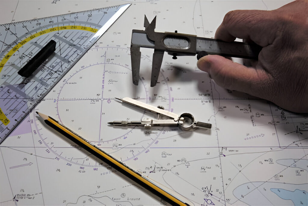
Key Tools in GIS Equipment
GIS equipment encompasses a wide range of tools, each designed to address specific challenges in mapping and spatial analysis.
GPS Devices
Global Positioning System (GPS) devices are among the most widely used tools in GIS. These devices pinpoint exact locations on Earth, enabling professionals to collect data with high levels of accuracy. GPS devices range from simple handheld units to advanced models capable of integrating with other GIS tools for seamless data transfer.
Total Stations
Total stations combine the functionalities of a theodolite and an electronic distance meter. These instruments measure angles and distances with incredible precision, making them indispensable for land surveys, construction projects, and other GIS applications requiring high accuracy.
Drones and UAVs
Unmanned Aerial Vehicles (UAVs), commonly known as drones, have revolutionized GIS data collection. Equipped with cameras and sensors, drones can capture aerial imagery and topographical data over large areas quickly and efficiently. This makes them ideal for mapping inaccessible or hazardous regions.
Laser Scanners
Laser scanners use LiDAR (Light Detection and Ranging) technology to create highly detailed 3D maps of terrains and structures. These tools are especially valuable in applications like forestry, urban planning, and disaster response, where detailed spatial data is crucial.
Data Collectors
Data collectors are portable devices that store and manage geospatial information in the field. Often integrated with other GIS equipment, they enable professionals to process data on-site, reducing errors and streamlining workflows.
GIS Software
While not a physical piece of equipment, GIS software is the backbone of any GIS system. It processes the data collected by various tools and allows users to analyze and visualize spatial relationships. Advanced software can generate detailed maps, models, and reports that drive decision-making across industries.
Applications of GIS Equipment
The versatility of GIS equipment makes it indispensable in a wide range of fields.
Urban Planning
Urban planners rely on GIS tools to design cities and manage resources effectively. GIS equipment helps them map infrastructure, analyze land use patterns, and plan transportation networks, ensuring sustainable growth and development.
Environmental Conservation
GIS plays a crucial role in monitoring and preserving natural resources. By using GIS equipment, conservationists can track changes in ecosystems, identify endangered habitats, and design strategies for protecting biodiversity.
Agriculture
Precision agriculture has benefited significantly from GIS technology. Farmers use GIS equipment to map fields, monitor soil health, and optimize resource use. This data-driven approach improves crop yields while minimizing environmental impact.
Disaster Management
In disaster-prone areas, GIS tools are essential for planning and response. GIS equipment provides accurate maps and models that help emergency services predict risks, plan evacuation routes, and coordinate relief efforts.
Transportation and Logistics
GIS equipment enhances route optimization, fleet management, and infrastructure planning. Transportation professionals use spatial data to improve efficiency and reduce costs, ensuring goods and people move safely and efficiently.
Advantages of GIS Equipment
The use of GIS equipment offers several benefits that make it a cornerstone of modern mapping and analysis.
Accuracy and Precision
GIS equipment provides data with exceptional accuracy, reducing errors and ensuring reliable results. This level of precision is critical for industries like construction, where even minor discrepancies can lead to significant issues.
Efficiency
By automating data collection and processing, GIS tools save time and resources. Professionals can cover larger areas and complete projects faster without compromising quality.
Versatility
From land surveys to environmental monitoring, GIS equipment is adaptable to countless applications. Its flexibility makes it a valuable asset for professionals across diverse industries.
Enhanced Decision-Making
GIS tools transform raw data into actionable insights. By visualizing complex spatial relationships, professionals can make informed decisions that lead to better outcomes.
Challenges and Considerations
While GIS equipment offers tremendous benefits, there are challenges to consider when implementing these tools.
Cost
High-quality GIS equipment can be expensive, especially for small businesses or independent professionals. However, the long-term benefits of improved accuracy and efficiency often justify the investment.
Training
Using GIS equipment effectively requires training and expertise. Professionals must understand how to operate the tools, interpret the data, and integrate the results into their workflows.
Maintenance
GIS equipment requires regular maintenance to ensure optimal performance. Calibration, software updates, and physical upkeep are essential for maintaining accuracy and reliability.
The Future of GIS Equipment
As technology continues to evolve, GIS equipment is becoming more advanced and accessible.
Integration with AI
The integration of Artificial Intelligence (AI) with GIS is set to revolutionize spatial analysis. AI-powered tools can process vast amounts of data quickly, identifying patterns and trends that were previously undetectable.
Enhanced Connectivity
Advances in wireless communication and cloud computing are making GIS systems more interconnected. Professionals can now share data in real-time, enhancing collaboration and efficiency.
Sustainability
As the world focuses on sustainability, GIS equipment will play a pivotal role in managing resources and reducing environmental impact. From tracking carbon footprints to optimizing renewable energy systems, GIS tools are shaping a greener future.
Conclusion
GIS equipment is at the forefront of modern mapping and spatial analysis. By providing accurate, reliable data, these tools empower professionals to tackle complex challenges and make informed decisions. From urban planning and agriculture to disaster management and conservation, GIS technology is transforming industries and shaping the future.
Investing in high-quality GIS equipment ensures that professionals have the tools they need to succeed in an increasingly data-driven world. As technology continues to advance, the potential of GIS equipment will only grow, opening new possibilities for innovation and progress.